Monday, August 25, 2008

Williams Fork Loop

Finally got a chance to ride the Williams Fork Loop!!!

A new friend and I were able to get this loop completed yesterday. We opted to drive over Jones Pass and start from the Bobtail Mine. This cuts out about 5,000 feet of climbing-half at the beginning and half at the end-and alleviates the fear of getting caught on the wrong side of the pass if a thunderstorm pops up.

The loop was roughly 33 miles, 4,400 ft of climbing and took us about 9 hrs. There was a lot of hike-a-bike (but that was expected) so the stats don’t tell the whole story…

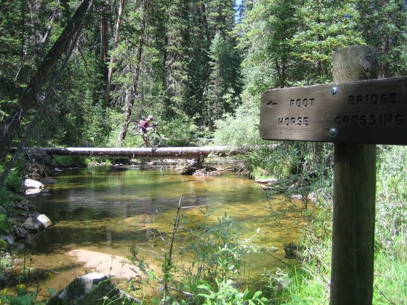
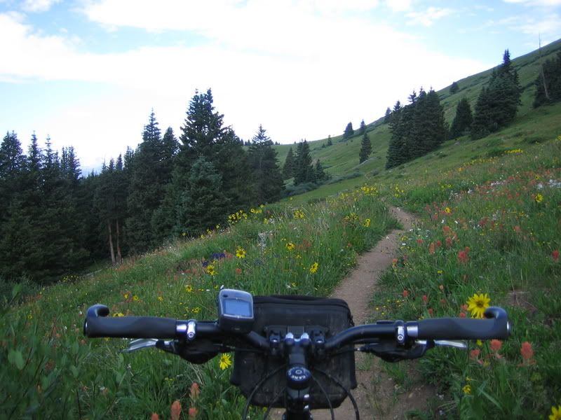
We left the car just before 8am and the sun still hadn't hit the valley floor. The loop began with a VERY COLD creek crossing followed by a couple more while still in the shade. Brian did the first crossing while precariously stepping from rock to rock using his bike for balance, while I just decided I might as well start with cold, wet feet.
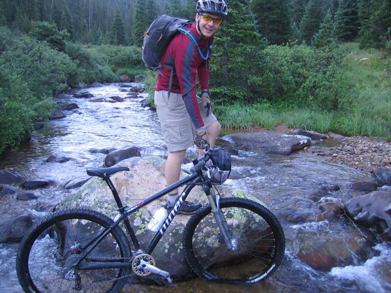
First creek crossing
It turned out that there was so much dew and frost on the vegetation that Brian’s feet were quickly soaked anyways. It didn’t take long before I didn’t have any feeling in my big toes. After all the creek crossings were done, we finally made it into the sun, stopped to eat and change socks, then started up the first climb. It’s almost all hike-a-bike to gain the ridge from the creek (~1,500 feet).
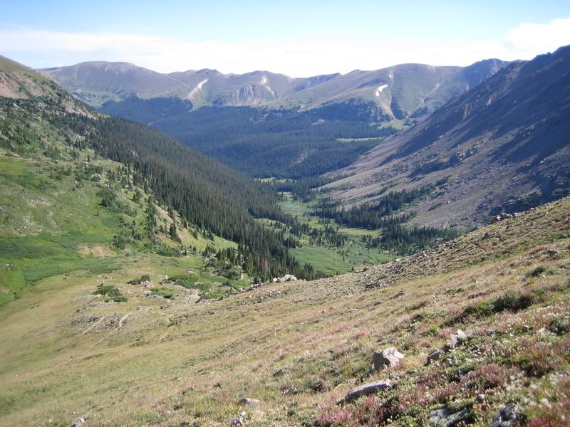
Bobtail Drainage
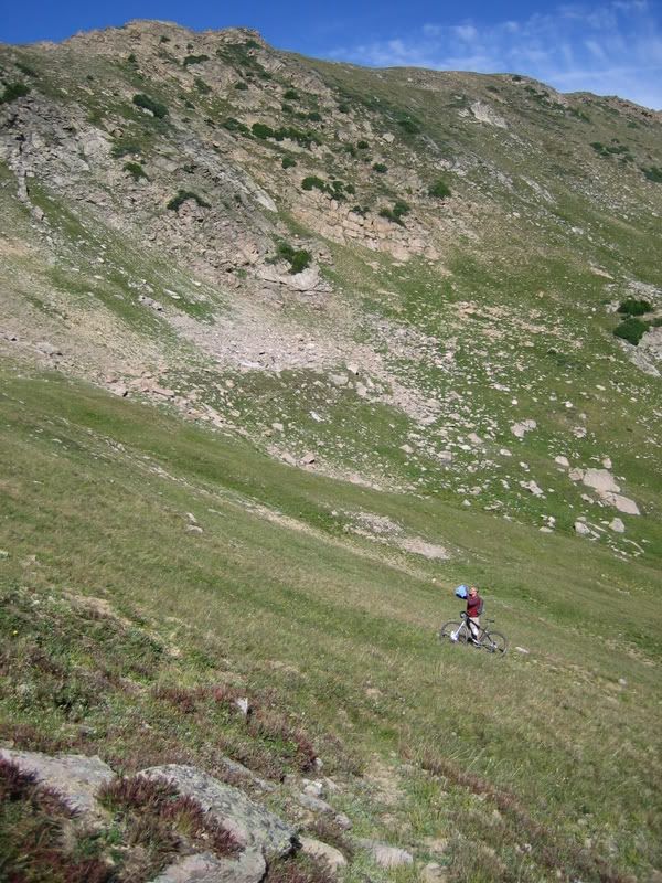
This trail gets so little use that it’s difficult to find at times. We saw no human tracks, only moose and elk for most of the day just to give you a sense of it’s usage.
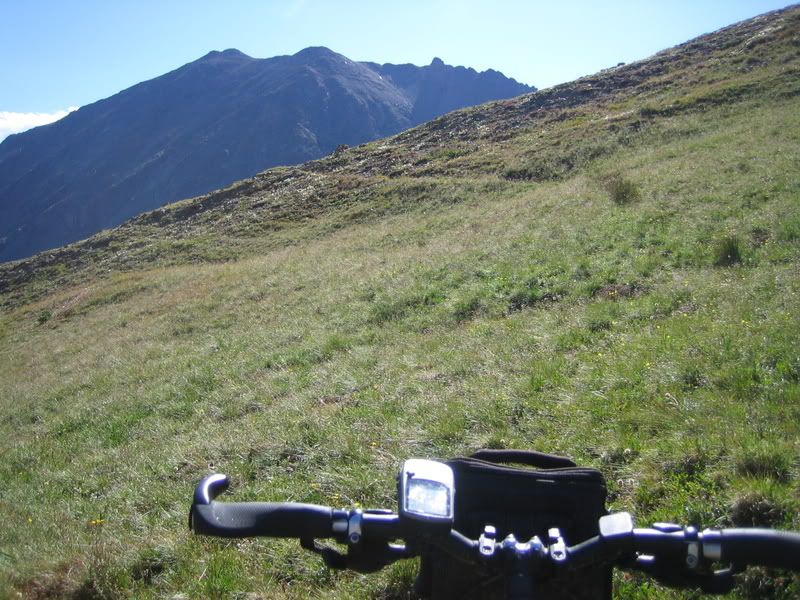
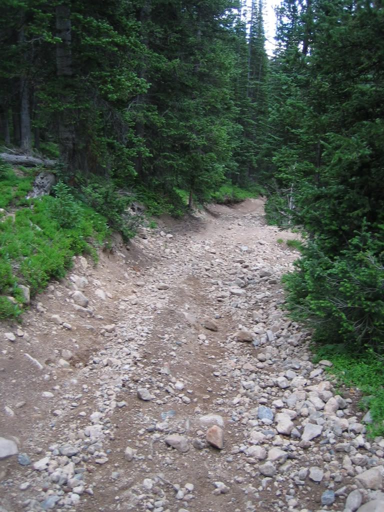
I think this is the trail
Climb, Climb, Climb
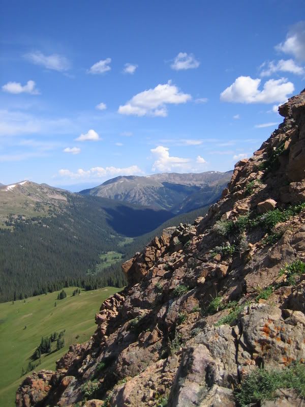
The views to the east at Pettingale were spectacular during the climb.
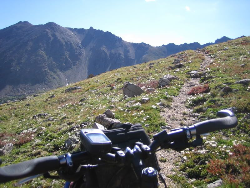
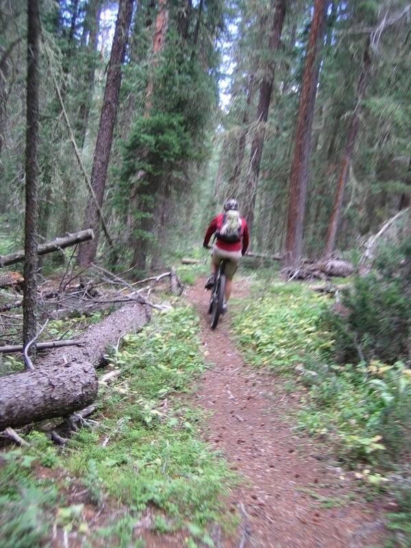
Some okay trail on the climb
We took the obligatory photo next to the sign at the crest of the ridge.
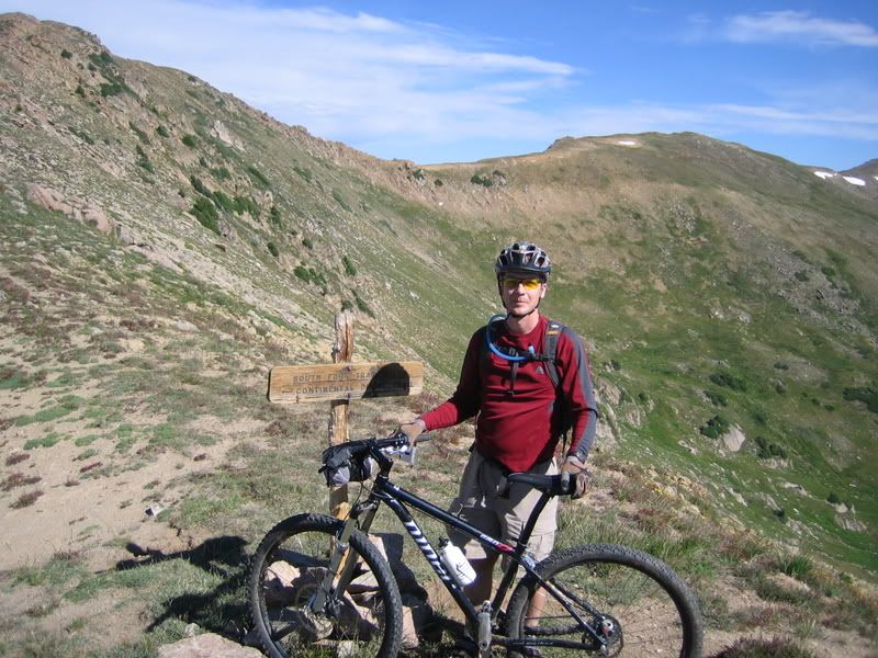
Top of first climb
The first drop-in over the ridge was a little daunting…
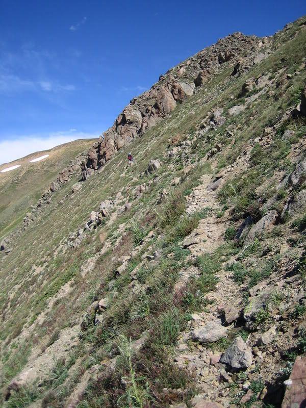
That first steps a doozy
In spots, the only way to identify where the trail went was by the sporadically spaced cairns. It is fun but bumpy riding across the tundra.
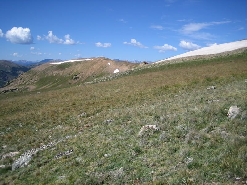
Where'd the Trail go?
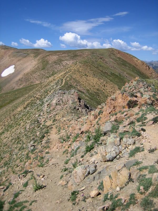
There were some incredible views and riding along the ridge but the riding goes through many ‘no-fall-zones’.
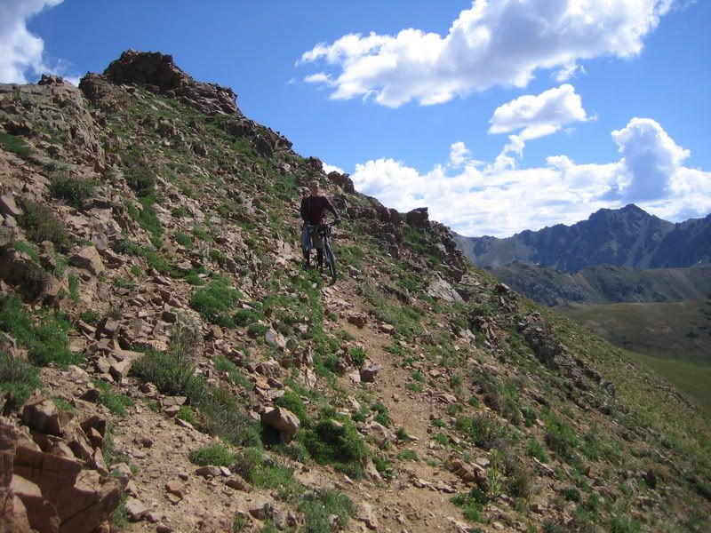
Tricky Trail
Steelman Drainage
Ridge Riding
There was quite a bit of riding from cairn to cairn along the ridge and it is slow going at times. I remember looking down at the GPS and seeing that it had taken us 3 hours to go 5 miles. Then we reached the drop into the west valley.
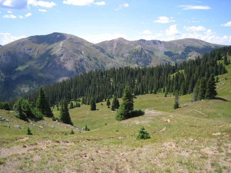
Drop into West Fork Drainage
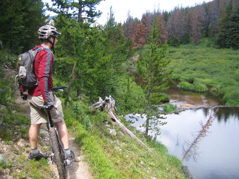
West Fork Beaver Pond
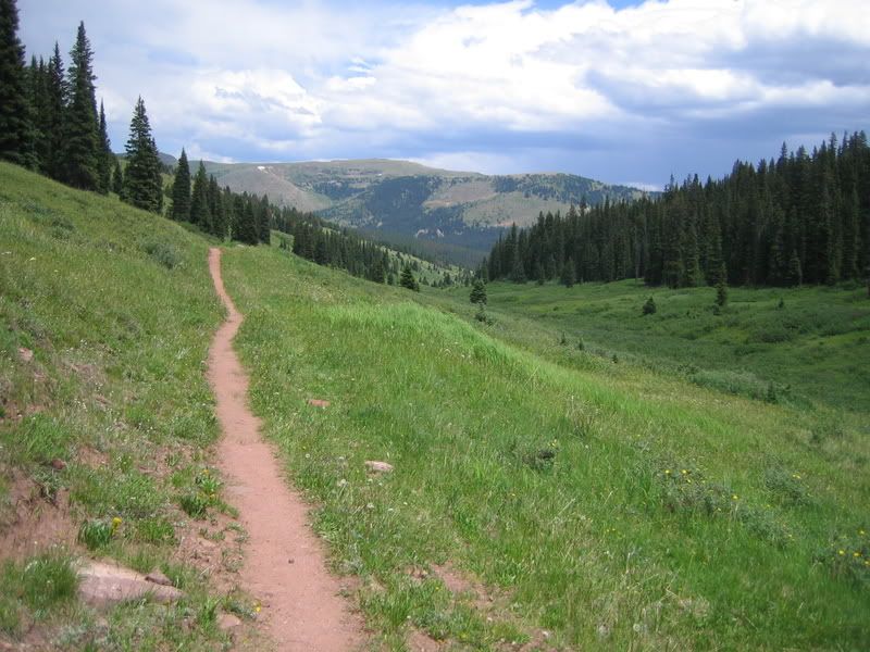
There were at least four creek crossings and only one had a bridge. On the plus side, the trail is MUCH more defined in this valley than the first valley making the riding go much faster.
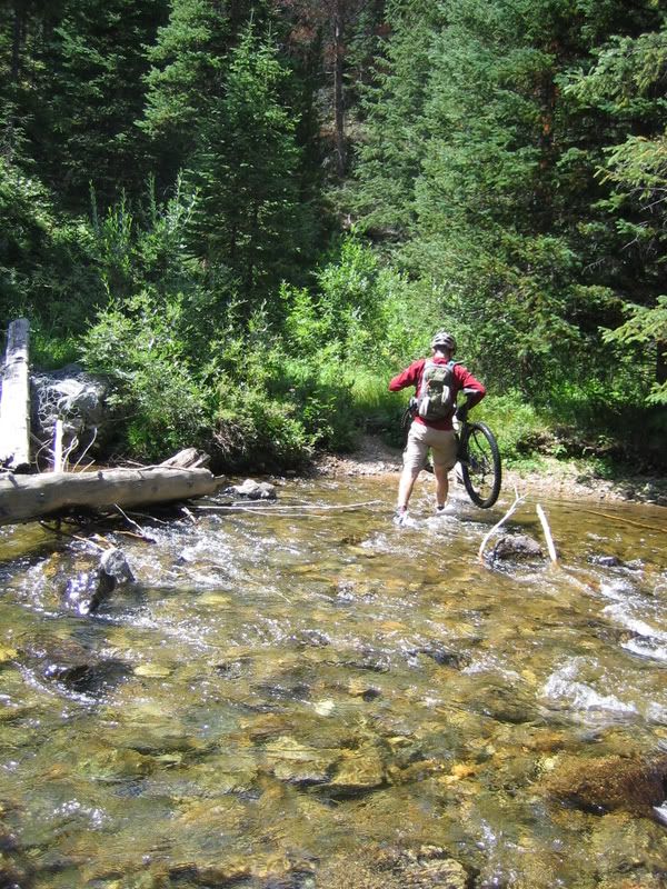
West Fork Broken Bridge
West Fork Bridge
West Fork Trail
We stopped and refilled our water at the campground where the two forks meet. It was odd to get to a deserted campground and refill at the hand-pump. Since this area was heavily infected with pine beetles, they had done a bunch of logging within the campground. We left the campground and headed for the boardwalk that crosses the swamp/marsh. We saw our first person of the day at this trailhead…Looked like he was going fishing. Then we found out that they had removed the center section of the boardwalk so we had to once again get our feet wet.
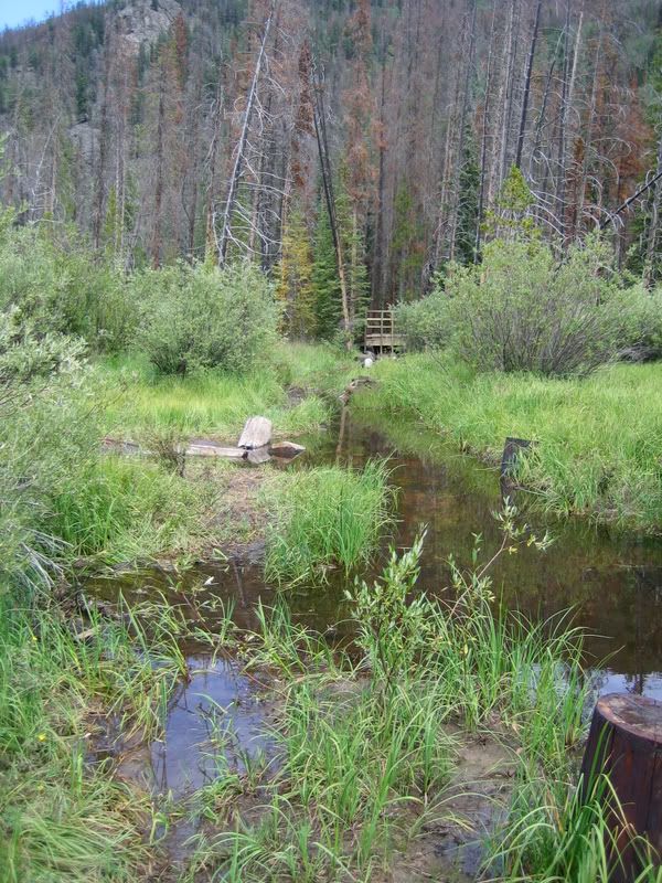
What happened to the boardwalk?
Then it was onto the ‘new to me’ Darling Creek trail. In the past adventures on the Williams Fork Loop, we had always crossed on the boardwalk and headed upstream on the South Fork trail. But this time, we headed downstream on the Darling Creek trail.
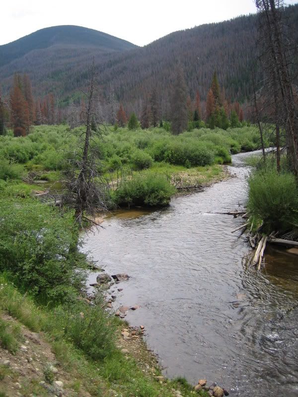
Beetle Kill
I had no idea what to expect, but I knew that the trail would lead us to the aquaduct road that I had ridden a few weeks prior. This area had been heavily hit with beetles so I was expecting a lot of downed timber. The trail started out really rocky and I was starting to think that this could have been a mistake. After less than a mile, we found out that we could’ve bypassed the boardwalk by starting up Darling Ck trail by the portal for the Henderson Tunnel. There were signs at the portal saying the trails (I presume both Darling Ck and South Fork) were closed for logging operations but we had no option other than heading up one of the two to get back to the car. I was expecting the worst from Darling Ck (since I had never been on it before) and was pleasantly surprised at how much was rideable. As soon as we got around the portal, it actually turned into a decent climbable trail.
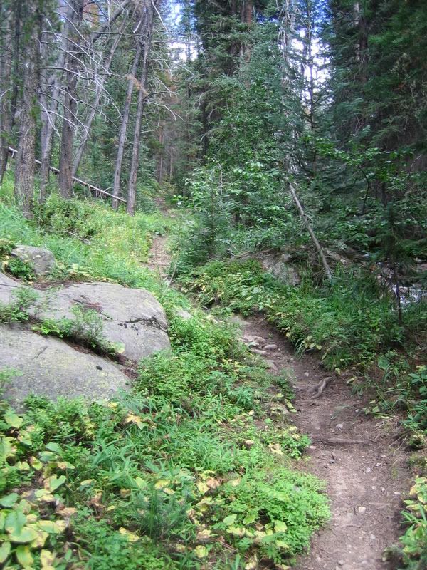
Darling Ck
Once the trail crosses the creek and turns up a tributary, it was more hike-a-bike than riding but there were still a few sections worth attempting.
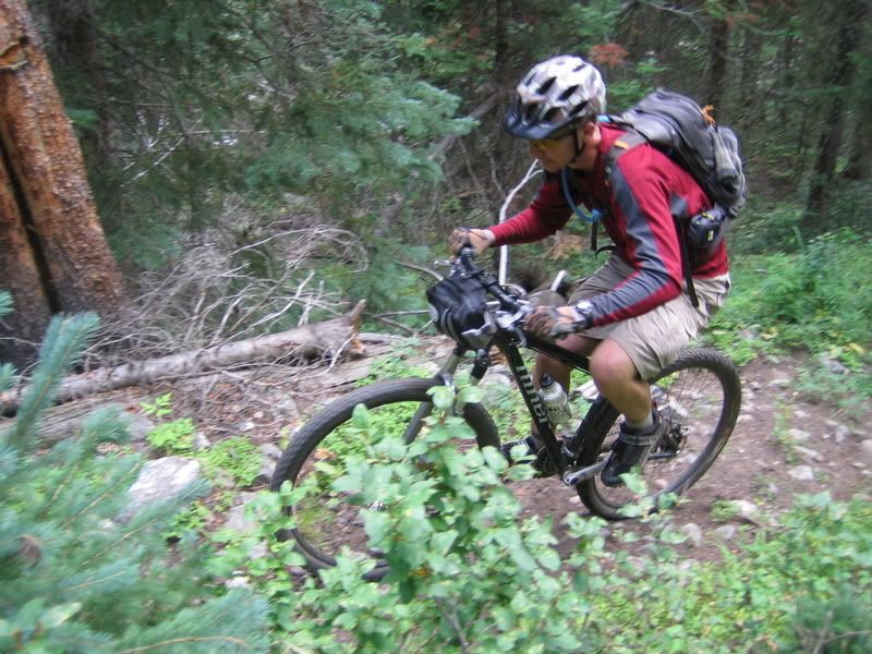
Darling Ck - Brian
Then it was a fast cruise down the aquaduct road.
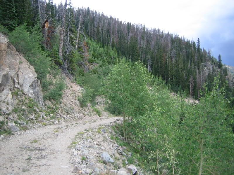
Aquaduct
We saw only 2 people on the entire trip: one at the campground going fishing, and another on the aquaduct trail a couple of miles from the end. The second guy was stashing a bunch of coke cans in a creek and was pulling a Burley trailer loaded with a hunting camp. He asked if we were out there scouting (I think he was afraid that he’d have to share his hunting spot). Somehow, we avoided all the storms in the area.
Tuesday, August 5, 2008

Copper Triangle

No, I didn't ride the sanctioned Copper Triangle. In fact, I didn't even know it was going on until I pulled off I-70 at Copper only to see a cop sitting at the intersection and the outer parking lots COMPLETELY FULL!!! I asked a couple of guys working the parking lot what was going on and then I asked them about the trails and they replied, "Oh, you won't see anyone up there today." Although I didn't quite believe them, I was at least relieved to find out that there wasn't a race on the trails...But the CTR racers had been through here earlier in the week and it was because of watching the blue dots that I got the urge to ride what I call the off-road copper triangle (although it's really more of a rectangle than a triangle). Anyways, it had been since 2005 that I had ridden this route and on that trip I had my wife meet us at Camp Hale with food and water. I remember it being difficult for me at the time and I really needed the resupply of food from my wife. I remember we had a rough time climbing Resolution Creek Road in 2005 and we had lightning striking around us at the top that made us cower under some trees until the storm passed. I broke one of my wisdom teeth that day requiring me to get it pulled later the next week.

This trip was a solo endeavor with no support. Once I got out of the center of Copper and onto the trail, I was able to enjoy some solitude.
Copper Triangle - Start
Climbing to Guller Gulch was not as difficult as I remembered it being, plus it went by rather quickly. Although I took my MP3 player, I didn't turn it on at the start. I wanted to ride without it for a change but told myself that I could listen after I reached Searle Pass. Instead, I replayed portions of songs in my head...It's funny how you sometimes have complete control over what songs you replay, while at other times you have no control...Today I had control...
Copper Triangle - Guller Gulch
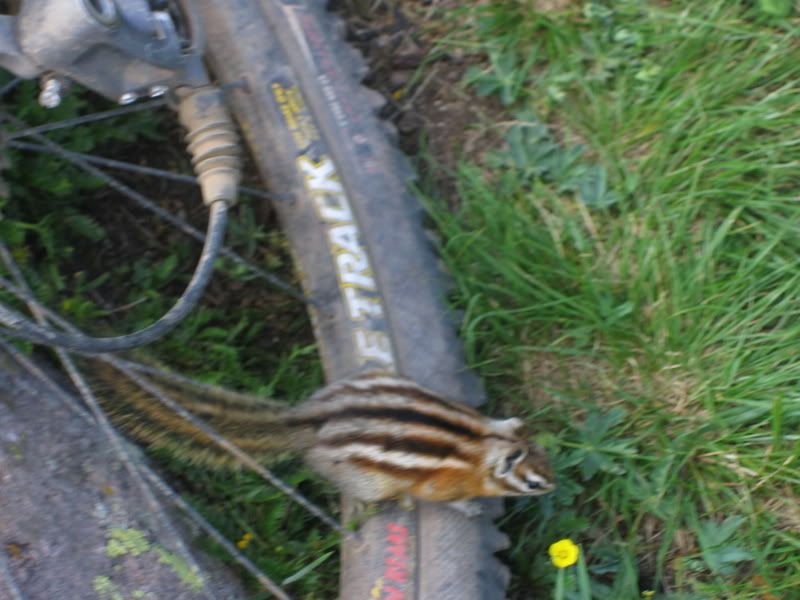
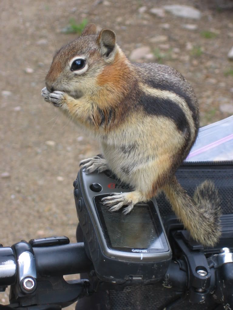
I stopped and talked with a few hikers coming down from spending the night at Jenny's Cabin. I also ran into a family that was thru-hiking the CT (they had planned on taking 7-weeks to finish). It wasn't too long and I was at Searle Pass. When I stopped I noticed an that one of the wings on my new Crank Bros eggbeater pedals was cracked through and twisted. No wonder it sometimes felt sloppy on the climb! Well, there was nothing I could do about it now so I didn't fret over it. I ate a Snickers Bar, refilled my water bottle with Gatorade, and talked with the local fauna.
Copper Triangle - A little friend
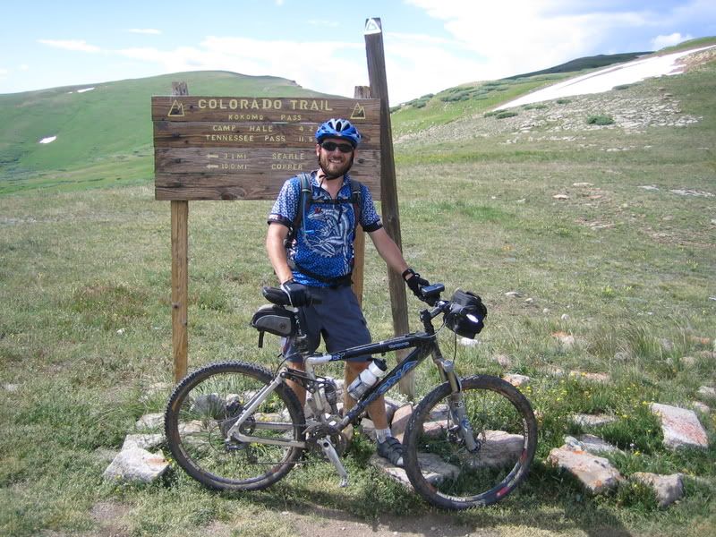
Then it was off to Kokomo Pass. I really love this section of trail above treeline. As I crossed the alpine tundra, I wondered if the tracks left in the few muddy sections were from the CTRers.
Copper Triangle - Kokomo Pass
The wildflowers coming down Kokomo Pass were really spectacular. This is such a fun descent!
Copper Triangle - Down Kokomo
When I got to the bottom, I went to shift gears only to have my chain get stuck between the 2nd and 3rd chain rings...Great...I thought I was going to be stuck in Camp Hale. I had lost 2 of the 4 chain ring bolts but luckily I was able to move them opposite each other so I could complete the ride. I also realized that the broken wing had fallen off and now the opposite one was cracked and ready to fall off! I continued on down the CT along the road and spooked a coyote who ran alongside the trail through the sagebrush at almost the same speed as me riding. It was cool to see him cruising along next to me for about 100 yards.

After leaving the CT, I cruised down the road and ate a few crackers/PB. It was a short ride to reach Resolution Peak Road. Then 2500ft up to the pass. I felt really good during the climb and only had to stop once or twice for a couple of seconds to refill my water bottle, grap some more crackers, and wait for jeeps or ATVs to pass.

It was like deja vu when I neared the top. Dark clouds started rolling in and then there was thunder just to the north. I had about 500 ft to get to the top so I stepped on it a little harder knowing I was starting to dig a hole but it would soon be over and I wouldn't have to wait out the storm. I quickly made it over the top (through a herd of sheep...but no sheep dog?) and started dropping into Wilder Gulch. It was packed with hikers which really slowed the descent and then I saw my first mountain bikers of the day less than a mile from the bike path.
Copper Triangle - Wilder Gulch
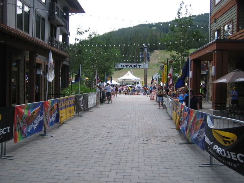
After I reached the bike path, the Copper Triangle riders were everywhere. I came around one of the first switchbacks to find an ambulance blocking the trail. I guess someone went down and they had him strapped on a backboard. I was really surprised at how slow alot of these riders were going. It seemed like I was passing them all. As I neared the village, the race volunteers were directing all the riders towards the center of the village--and I guess they all assumed I just lost my number so I was grouped in with the rest of the riders. It was interesting to finish off the ride by going through the start/finish line, having strangers clap and say good job to me even though they had no idea of where I went.
Copper Triangle - Finish Line!

Stats:
(I'll post them up later)

PS...
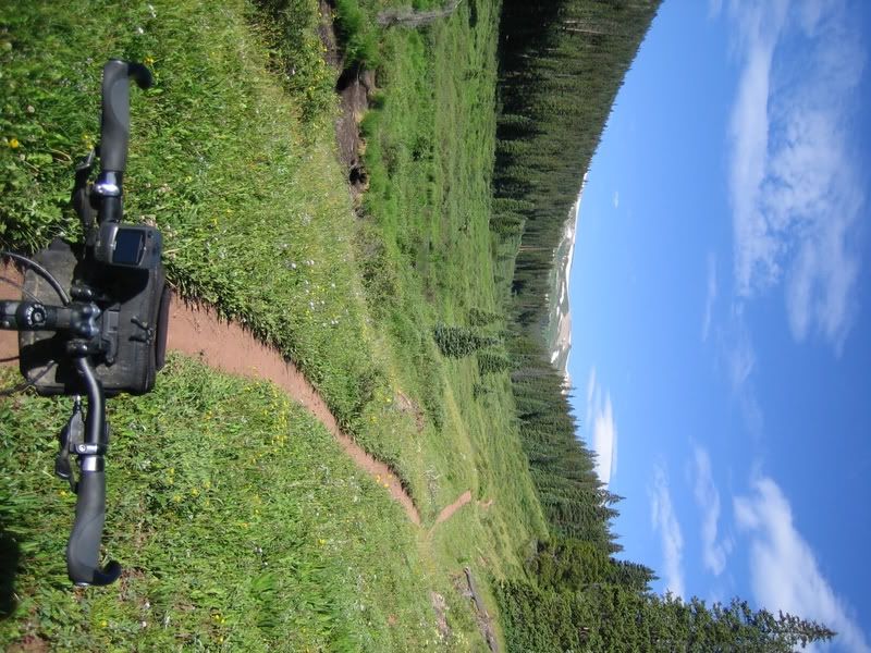
This was the first trip with the Ergon grips I got for my birthday and I really LOVED THEM!!!

Monday, July 28, 2008

Jones Pass

Headed up to Jones Pass again on Sunday. I really wanted to explore the aquaduct trails/roads on the west side that I didn't get a chance to visit last weekend when I was sidetracked on the CDT.

Quite a bit had melted since last weekend.
Jones Pass July 27, 2008
I took a more challenging line up and over the cornice this time. I really had to make sure that the bike was acting as a good anchor because the steepness of the snow was over 40-degrees and a slip would've resulted in a lot of pain.
Cresting the cornice
There were already clouds building and it was only 11am...I knew I was taking a risk by dropping down the west side of the pass and I've been stuck on this side before but what the heck, I'll take that chance. Here's the aquaduct trails/roads I was heading towards
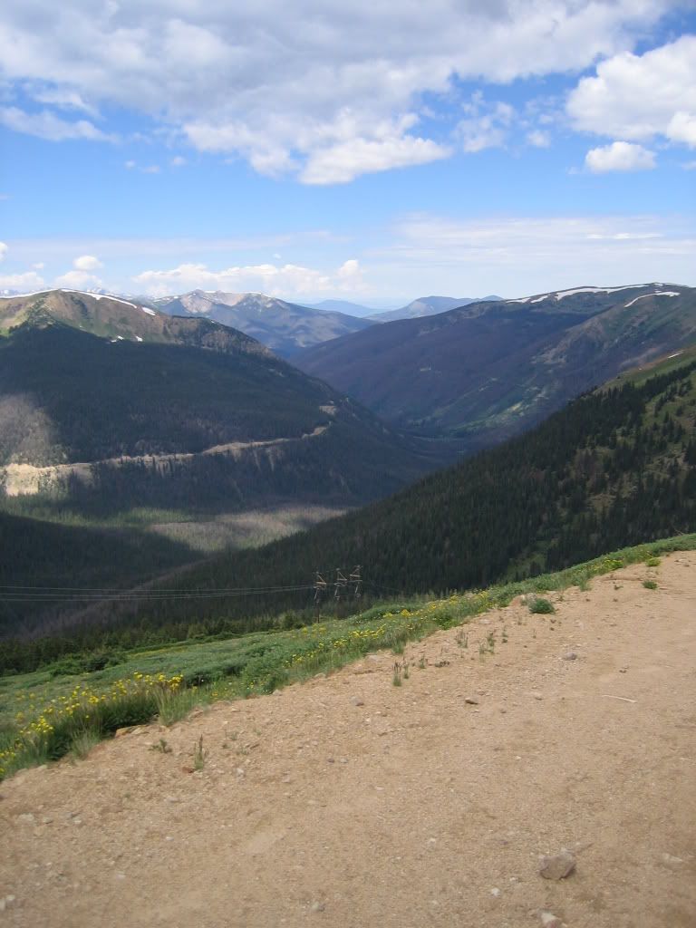
Looking down from Jones Pass West
The first one was a mellow road to begin with
Aquaduct south
Then things got a little more techincal as I neared its end
Fun Aquaduct trail (south)
As I was cruising back, I came across a moose! I must have spooked her because all I saw was a BIG dark brown butt! I had seen a pair a few years ago up here but it still startled me. I stopped, turned around, and went back to take a picture but she was gone. Here's about where I saw her (you can see Jones Pass in the background).
Jones Pass West
So then it was back to the bottom of Jones Pass to start the next aquaduct trail. As I stopped to refill my water bottle this little chipmunk just about ran up my leg. I turned around and he was sitting on my seat. I scared him a bit but he came back, this time up my front tire. I gave him a piece of dried mango and we talked over lunch.
My little buddy
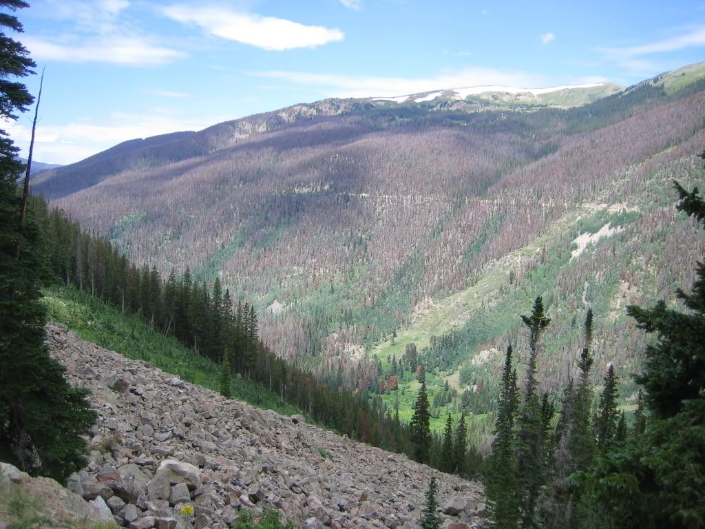
Then he went back into the woods and I went off down the other aquaduct trail. Here's a shot of the second one from the first one. You can really see the devistation the pine beetles have caused in this valley.
Aquaduct
I haven't downloaded the GPS yet so I'm not sure how far I went but I made it all the way past the campground at the confluence of the two Williams Forks (but it was 2,000 ft below me). I ended up riding off the map I had on my GPS and I found an interesting fact: If you ride beyond the GPS map, it disappears completely only leaving your track. I finally reached my turn around time and reversed course. Back up Jones Pass I went. I saw zero people once I was off of Jones Pass...Just the way I like it.
Jones Pass West
Denver has been experiencing a heat wave these last couple of weeks. We're going for a record number of days over 90F (I think we're at 15 now) and we're already on record for the driest year ever up to this point...But on top of Jones Pass below the undercast sky, I needed to put on my jacket because I was starting to get really cold.

Next time I'll be ready to hit the Williams Fork Loop. I really wanted to scope out the aquaduct trails to see if it would be any easier on the Loop to hike up to one of these trails instead of taking the trail that was littered with downed timber the last time I was one it. My conclusion was that the hike-a-bike up to the road wouldn't really save that much time because it was at most 2,000 feet (near the campground) with no trail and lots of downed timber too (due to the beetles). At least I had a nice day of 'alone time'.

Here's the stats:
Distance: 44.8 miles
Total Time: 7:08
Stopped Time: 0:42
Climbing: 6237ft
Profile

Monday, July 21, 2008

Continental Divide Trail

I headed up to Jones Pass on Saturday. I took one of my rc gliders but the wind wasn't good enough so I left it in the car and headed up the pass. The climb over the cornice was interesting but not as challenging as it has been in years past. I was planning on dropping into the valley to check out Bobtail Ck and a little more of the Williams Fork loop but I was just drawn to the CDT snaking it's way down the ridgeline. It was calling to me. I'd never ridden this section of trail but I knew it would be very technical. So I planned on doing it as an out-n-back, but the boy in me continuously asking the question, "What's around the next corner?" kept me going further down the trail. I saw a sign a couple of miles in that said Wood Creek was just a few miles. I thought I could drop down it and hook up with a trail/road that *I thought* connected Woods Gulch to Butler Gulch...Well...There's no trail from the CDT down into Woods Gulch...I had to bushwack back down below treeline before I saw a crushed beer can and I knew I was back near a road. A few minutes later, I found the singletrack that climbs up to Hassell Lake. It was tough...So steep in parts I could barely carry my bike (which, by the way, I did a lot that day). Once up to the lake the trail disappeared. I had been up here before but it was in the wintertime and we skinned back up and over the ridge into Butler Gulch. I knew there was a road that switchbacked up the trail but I was sure where it was. I totally missed it and ended up hiking almost straight up the hillside until I reached the top. Again, I thought there'd be a trail since this little saddle gets skied alot. But once again I was bushwacking back down the hillside to the trail.


Jones Pass 2008

It was definitely a technical day so the stats aren't that impressive (but the views and the difficulty level kinda made up for it)

Distance: 14.24 miles
Elevation: 5100 ft
Total Time: 5:31
Stopped Time: 0:54

Sunday, July 13, 2008

Greys & Torreys Ring Ride

I started off the day on the wrong foot…Didn’t hear the alarm at all (and I had set three times on my watch) so I over-slept and got a late start. It was right after 7am when I started from the visitor’s center in Georgetown (8,500ft) and still a bit chilly compared to the morning temps in Denver.

Up the road and by the RR station to the bike path and then the pungent smell of burning brakes.
Georgetown to Silver Plume Bikepath
That didn’t last that long at least and it was on to the Pavillion Point RR trail. The first part of the trail is two-track but then it turns into this wonderful singletrack that meanders along the railroad grade. It gets tricky in spots where the short trussels are gone or the drainage as eroded back to its former morphology.
Pavillion Point RR grade
It connects at the point to a road that traverses the hillside-with a few ups and downs- to the Argentine Pass road. Argentine Pass is also a railroad grade converted to 4x4 road. It continues at a consistent grade all the way to the abandoned Waldorf Mine (11,600ft).
Waldorf Mine looking up at Argentine Pass
Above the Waldorf, the road gets more difficult to climb. It’s loose and rocky plus the air gets quite thin. I reached the top of Argentine Pass (13,200ft) in just over 3hrs and was greeted by a group of hikers that had come up Argentine from Peru Creek. That was great timing. I wouldn’t have wanted to meet them on the Peru side of Argentine. I didn’t spend much time on top with the group…
Argentine Pass (13,200ft) trail to Peru Ck
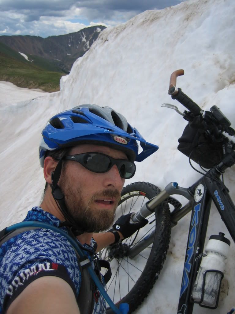
This first section is really loose scree but it’s wide and rideable. Just don’t fall to the right…I don’t know when you’d stop tumbling (notice that the camera’s a little tilted towards the rock I’m leaning against—think I’m a little nervous?). The rideability of the descent waxes and wanes. There’s no way I can even picture myself trying to ride all of it. I think there’s always sections I’ll walk.
Argentine Pass
Some sections are nice singletrack and then other sections are boulder fields. There’s even one step that requires lowering the bike first (ensuring that you don’t tip it over because it’ll tumble off the trail), then climbing down the 5’ step.
Last year, there were a couple of large snowfields that I had to kick in some steps but this year there was barely any snow at all—only one 10’ section.
Argentine Pass & Greys
Didn’t take long to get to Peru Creek and the ride down the road was uneventful. When I reached the bottom of Lenawee, I ran into an older guy whom I stopped and talked with for a few minutes. Then this golden retriever showed up and walked with me up the trail. I don’t know whose dog it was but he had this big note on his collar so I figured he was a local just out for a stroll. Up the trail we went.
Lenawee blw treeline
After climbing a bit, I realized that my balance wasn’t quite on…Maybe it’s because I hadn’t ridden much technical trail in a while or I was just having an off day, regardless I just couldn’t seem to clear obstacles that I know I could clear. At one point, I lost forward motion and started rolling backwards, tried to put my foot down on the downhill side only to tumble off the trail over a downed tree and come to rest upside down attached to my bike. I walked a little bit more than I needed to after that. I was really starting to feel the climbing when I rounded the corner into the basin so I stopped for a few minutes. I had set a goal of reaching A-Basin by 6hrs into the ride…It was already at 5hrs and I didn’t think there was a chance. I knew there was still some climbing to do.
Lenawee @ treeline
Once on the traverse, my mood switched around and it started to look like I could indeed make 6hrs so I started pushing a little harder.
Lenawee Basin
Just before the last switchbacks, I ran into biker coming down and we talked for a couple of seconds. I told him where I started from and he gave me a big high-five and seemed more excited about it than I did. It was just the boost I needed to finish off the climb with fortitude and perseverance. My traveling companion turned around and headed home.
My climbing companion on Lenawee
I reached the top right at 6hrs WOOOHOOO!!!
Montezuma Bowl @ A-Basin
Then it was riding the brakes coming down A-Basin. I hit the pavement only to be greeted by mobs of road bikers coming down the pass…I mean MOBS…It was a never ending stream of spandex and flapping jackets that consumed the entire downhill lane, sometimes 3 to 4 abreast. Cars coming downhill were overtaking them on the wrong side of a double yellow line coming straight at me…NOT a good feeling…and the roadies wouldn’t scoot over one bit. At one point, I heard a semi coming up behind me and the downhill lane ahead was full of 2-3 abreast riders. They weren’t going to give him an inch so guess who ended stopping their bike in a ditch until the semi passed? I thought about stopping and getting water at the Snake River above the road but I still had about a quarter of a 100oz bladder and I really didn’t want to stop. I crested Loveland Pass out of the saddle and accelerating. I wanted to get beyond the mob as quickly as possible. I was able to keep up with traffic all the way down the pass. Then it was on to the Loveland-Bakerville trail (which looks like they built it to be a road).
Loveland-Bakerville Trail/Road
Even though it looks lame, after all the climbing done it’s nice to have a long gravel downhill that requires little pedaling and barely a touch on the brakes. It wasn’t long before I reached Bakerville and headed out on the road only to pick up a 3-inch nail. I dinked around with the tire and tube for way too much time. I pinch flatted my replacement tube trying to get the tire back on so now I was down to patches. I really don’t like those self-adhesive patches…They’d hold just enough to get it pumped up and then blow out…But I finally got one to hold long enough to get back to the car. I knew I should’ve done the chamois cream on the bead from the start but I was lazy and didn’t think I needed to…lesson learned.

In the end, I was way ahead of last year’s time until the flat. But I still managed to better my time by 5 minutes.

Here’s the stats:
Distance: 45.6 miles
Climbing: 8919 feet
Total Time: 8:11
Stopped Time: 1:09 (40 minutes for that stupid flat)
20080712