A new friend and I were able to get this loop completed yesterday. We opted to drive over Jones Pass and start from the Bobtail Mine. This cuts out about 5,000 feet of climbing-half at the beginning and half at the end-and alleviates the fear of getting caught on the wrong side of the pass if a thunderstorm pops up.
The loop was roughly 33 miles, 4,400 ft of climbing and took us about 9 hrs. There was a lot of hike-a-bike (but that was expected) so the stats don’t tell the whole story…
We left the car just before 8am and the sun still hadn't hit the valley floor. The loop began with a VERY COLD creek crossing followed by a couple more while still in the shade. Brian did the first crossing while precariously stepping from rock to rock using his bike for balance, while I just decided I might as well start with cold, wet feet.
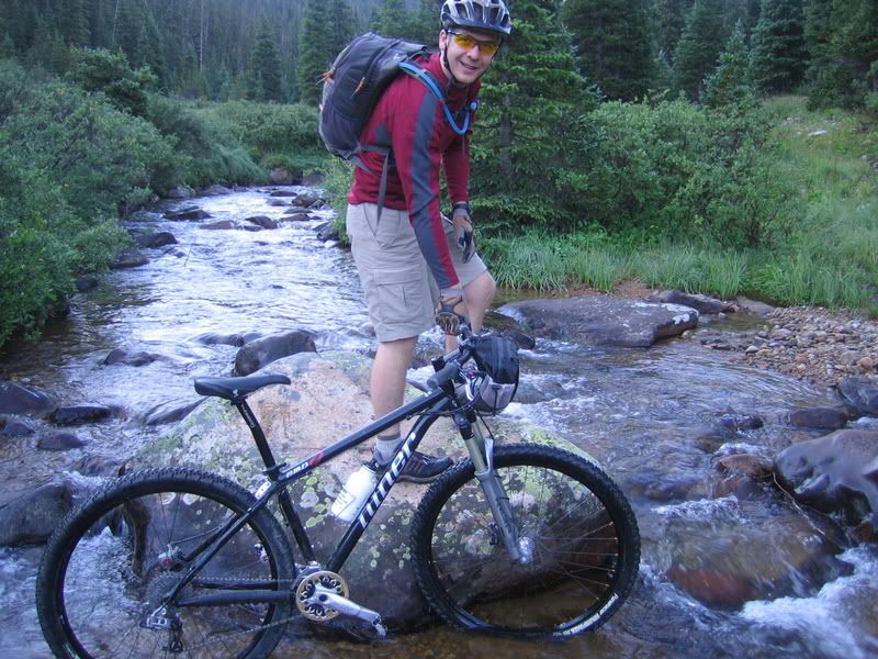
It turned out that there was so much dew and frost on the vegetation that Brian’s feet were quickly soaked anyways. It didn’t take long before I didn’t have any feeling in my big toes. After all the creek crossings were done, we finally made it into the sun, stopped to eat and change socks, then started up the first climb. It’s almost all hike-a-bike to gain the ridge from the creek (~1,500 feet).
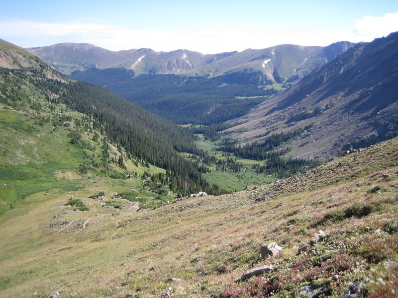
This trail gets so little use that it’s difficult to find at times. We saw no human tracks, only moose and elk for most of the day just to give you a sense of it’s usage.
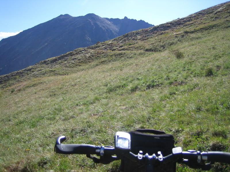
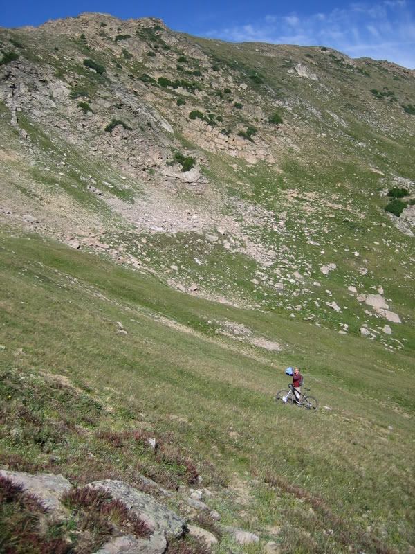
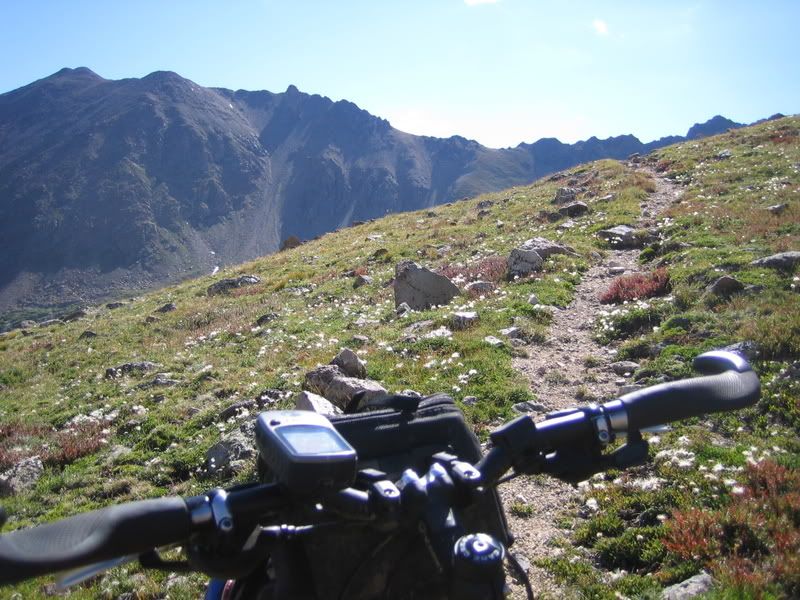
The views to the east at Pettingale were spectacular during the climb.
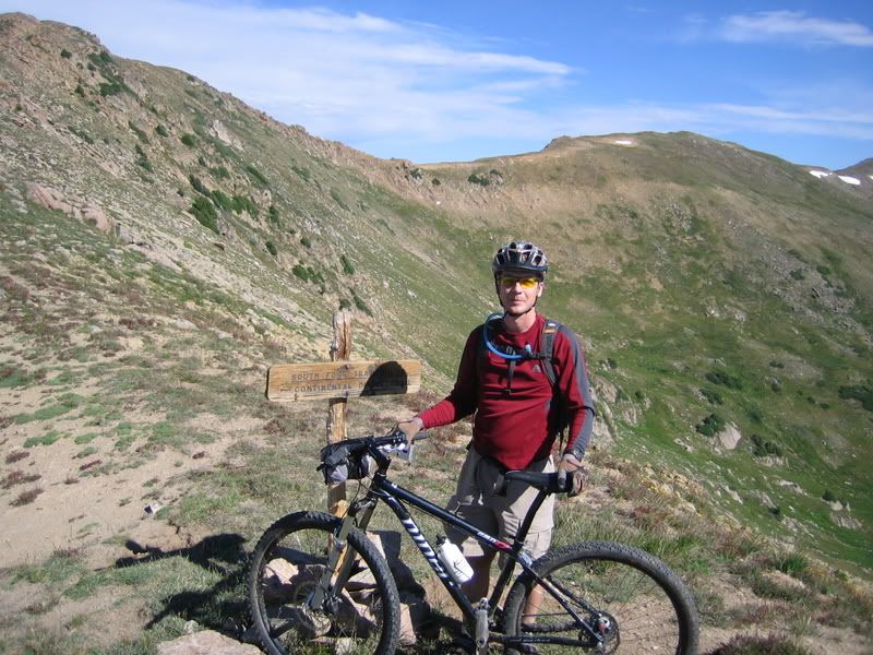
We took the obligatory photo next to the sign at the crest of the ridge.
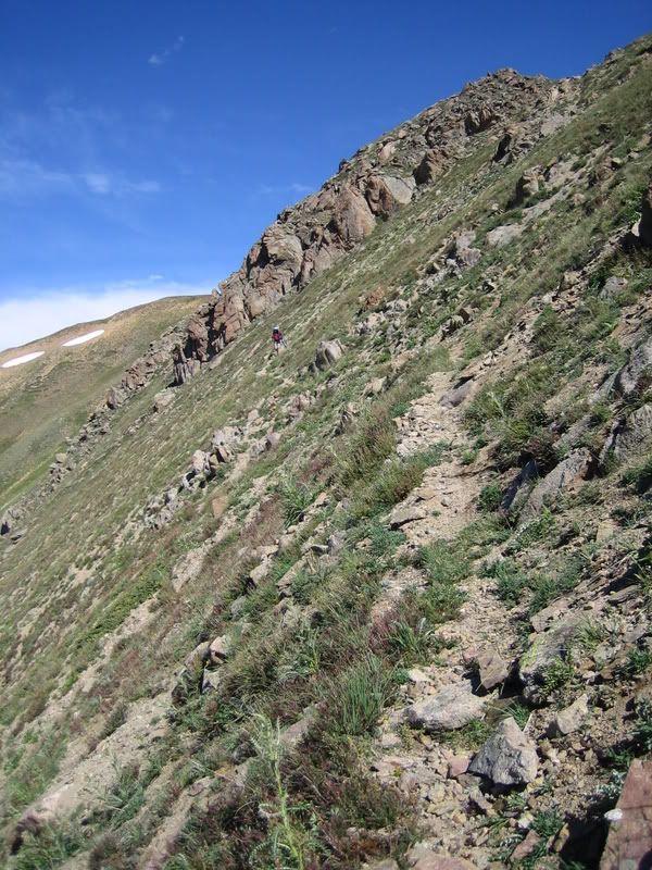
The first drop-in over the ridge was a little daunting…
In spots, the only way to identify where the trail went was by the sporadically spaced cairns. It is fun but bumpy riding across the tundra.
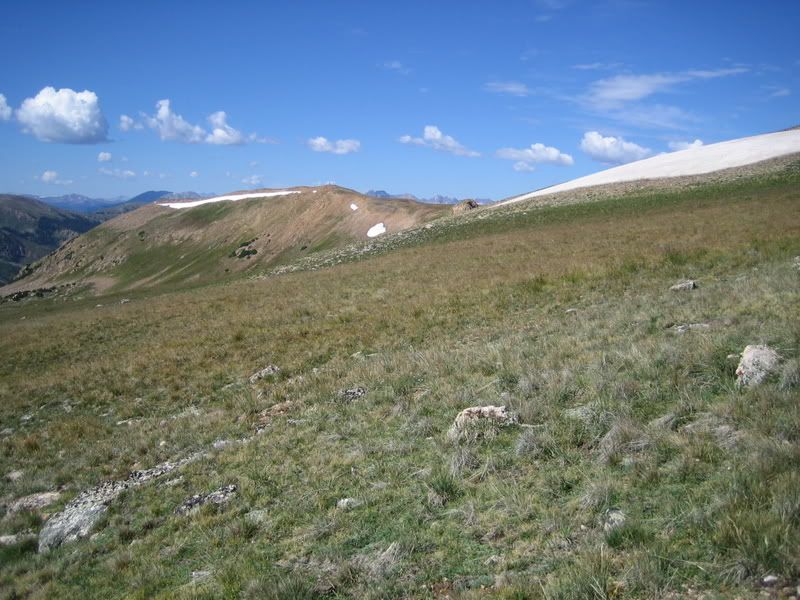
There were some incredible views and riding along the ridge but the riding goes through many ‘no-fall-zones’.
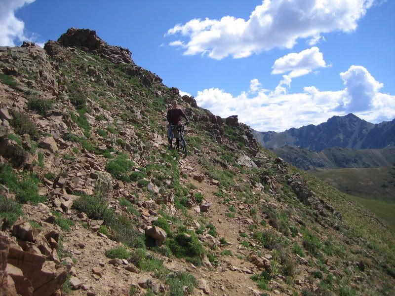
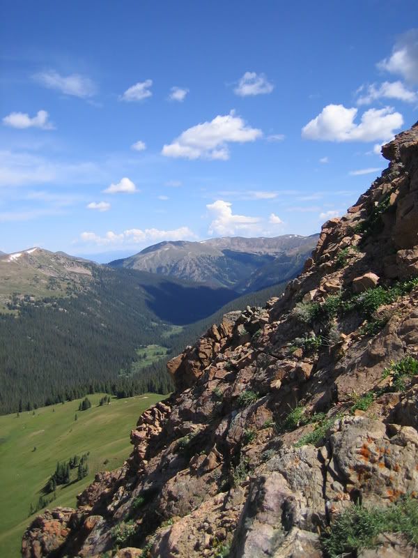
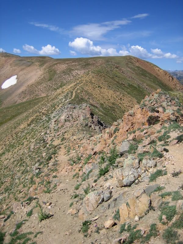
There was quite a bit of riding from cairn to cairn along the ridge and it is slow going at times. I remember looking down at the GPS and seeing that it had taken us 3 hours to go 5 miles. Then we reached the drop into the west valley.
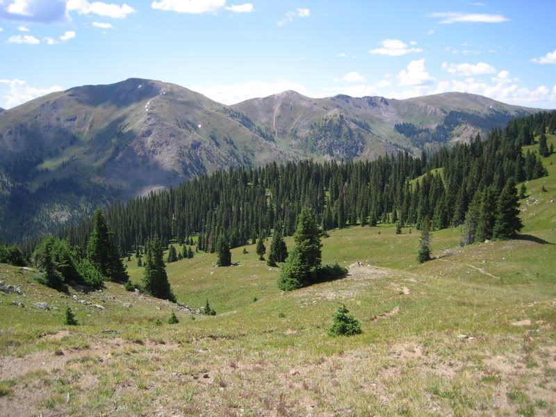
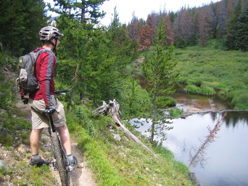
There were at least four creek crossings and only one had a bridge. On the plus side, the trail is MUCH more defined in this valley than the first valley making the riding go much faster.
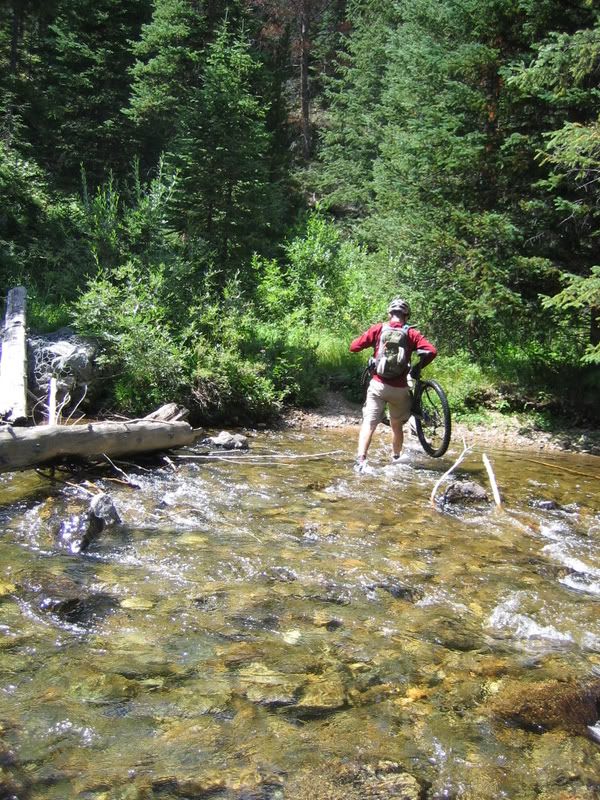
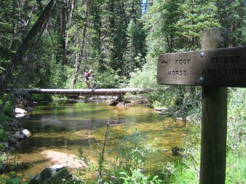
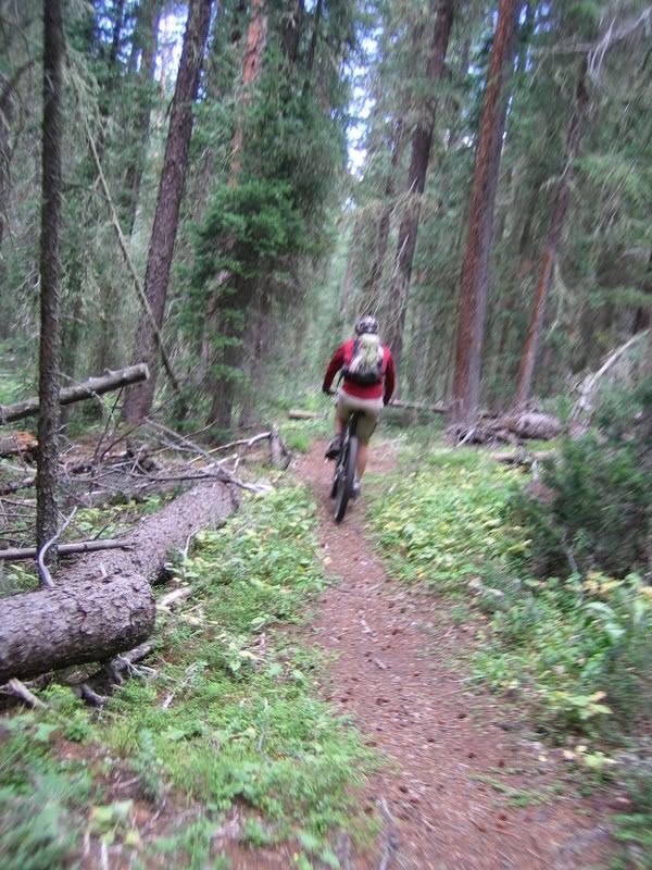
We stopped and refilled our water at the campground where the two forks meet. It was odd to get to a deserted campground and refill at the hand-pump. Since this area was heavily infected with pine beetles, they had done a bunch of logging within the campground. We left the campground and headed for the boardwalk that crosses the swamp/marsh. We saw our first person of the day at this trailhead…Looked like he was going fishing. Then we found out that they had removed the center section of the boardwalk so we had to once again get our feet wet.
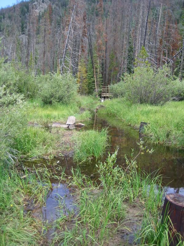
Then it was onto the ‘new to me’ Darling Creek trail. In the past adventures on the Williams Fork Loop, we had always crossed on the boardwalk and headed upstream on the South Fork trail. But this time, we headed downstream on the Darling Creek trail.
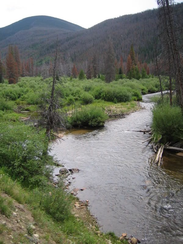
I had no idea what to expect, but I knew that the trail would lead us to the aquaduct road that I had ridden a few weeks prior. This area had been heavily hit with beetles so I was expecting a lot of downed timber. The trail started out really rocky and I was starting to think that this could have been a mistake. After less than a mile, we found out that we could’ve bypassed the boardwalk by starting up Darling Ck trail by the portal for the Henderson Tunnel. There were signs at the portal saying the trails (I presume both Darling Ck and South Fork) were closed for logging operations but we had no option other than heading up one of the two to get back to the car. I was expecting the worst from Darling Ck (since I had never been on it before) and was pleasantly surprised at how much was rideable. As soon as we got around the portal, it actually turned into a decent climbable trail.
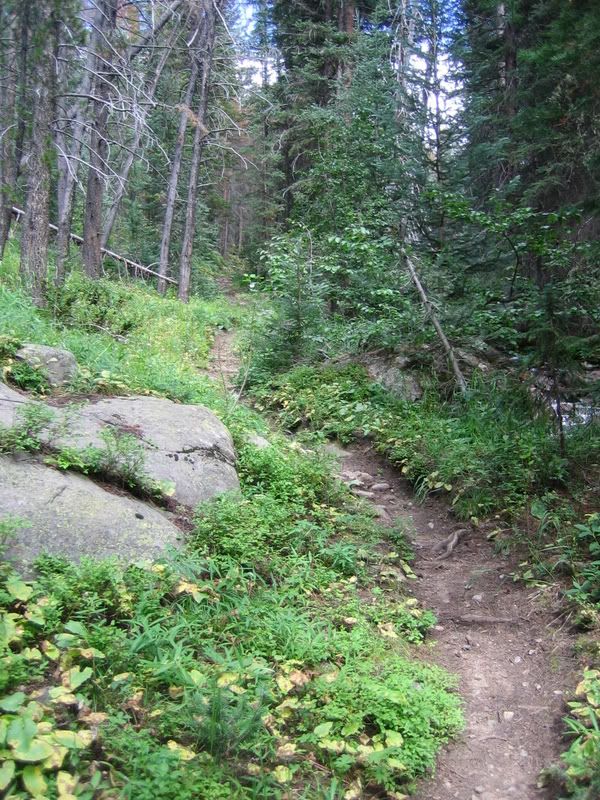
Once the trail crosses the creek and turns up a tributary, it was more hike-a-bike than riding but there were still a few sections worth attempting.
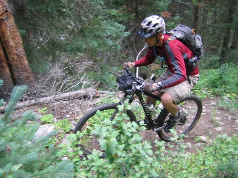
Then it was a fast cruise down the aquaduct road.
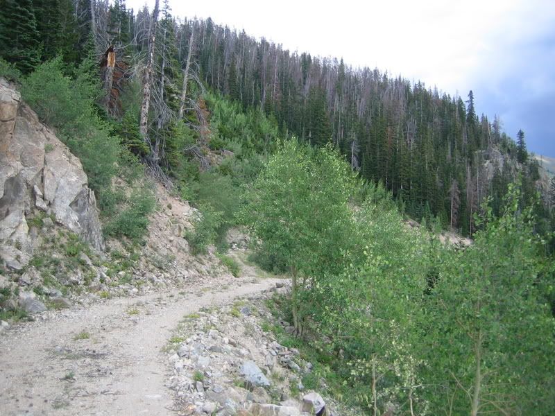
We saw only 2 people on the entire trip: one at the campground going fishing, and another on the aquaduct trail a couple of miles from the end. The second guy was stashing a bunch of coke cans in a creek and was pulling a Burley trailer loaded with a hunting camp. He asked if we were out there scouting (I think he was afraid that he’d have to share his hunting spot). Somehow, we avoided all the storms in the area.
10 comments:
um, so just where is this at?
looks like a nice epic ride/hike
great pics
This is just NW of the I-70 tunnel and the continental divide.
Found your post while looking for info. Do you have a gpx track of your route? Would you recommend going the direction you did or maybe doing it backwards (counter-clockwise) from the campground.
As an update and to answer Jeremy's question.... I did this loop in the opposite direction from the campgrounds last summer. Here is a GPS profile:
http://connect.garmin.com/activity/207324116
Instead of taking the aquaduct road (i did not know it existed) to the Darling Creek Trail, I continued down the South Fork Trail from the area below Jones Pass. That 8 miles of trail back to the campground was a hellish experience of downed logs... huge snarls of downed trees that were very difficult to get around. You could not ride 10 feet without having to deal with another one. I think it took me about 3 hours to go that final 6-8 miles.
Very frustrating because the trail would have been fun to ride if the trail had enjoyed any maintenance whatsoever in the prior years.
The rest of the route was actually a very fun adventure if you don't mind crazy high alpine hike-a-bike and difficult route-finding. The "trail" is almost non-existent in spots up high, so it is difficult to decipher it from the goat trails.
I finally got out for this adventure. We were able to avoid the worst of the downed trees by riding the pipeline road. Darling creek does have quite a few trees on it though.
http://lifeonwallst.blogspot.com/2014/09/adventure-biking-williams-fork-loop.html
Heh..the USFS cleared the entire loop last week..I rode the whole thing CW yesterday. The whole loop was in good shape!
http://www.strava.com/activities/191491368
Figures. The descent down the west side must have been nice. How was CW? Would you do it that way again? Sounds like I might have to do it again.
Yeah, I would totally do it again in the CW direction. The climb up from the south fork campground on the north side is relatively easy and almost 100% rid-able until after you get past the base of Jones. The descent off the top to the south is all time.
some photos are here
https://www.facebook.com/media/set/?set=a.10102563762990313.1073741838.10238856&type=1&l=786eea9b98
Nice photos Jordan! I hadn't thought about this ride for quite a while (and checked this blog even less) and your photos took me right back to the thrill of being on this trail. Glad you shared them with me!
Post a Comment