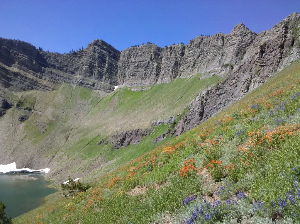
I've spent quite a bit of time in Afton, Wyoming for work and last year I took my bike up to ride after work. One of the guys that I work with who lives there showed me a couple of trails right out of town, but after I got to looking at the map, I realized I could potentially make a good loop in the Wyoming Range on very lightly used trails.
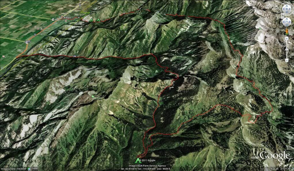
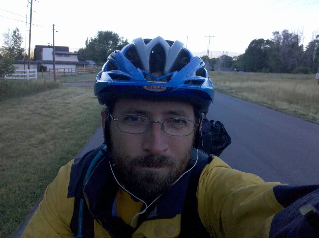
I started in Afton early in the morning. The temp was just at freezing. The first part of the ride was up a well used gravel road to the Periodic Springs on Swift Creek.
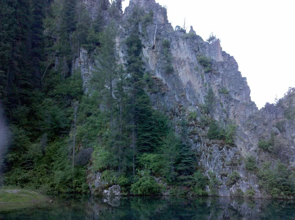
The next part was where the singletrack leaves the gravel road. This singletrack is not for those who doubt their skills. Although the trail was not overly difficult, a fall to the downhill side could've easily spelled disaster on this solo adventure.
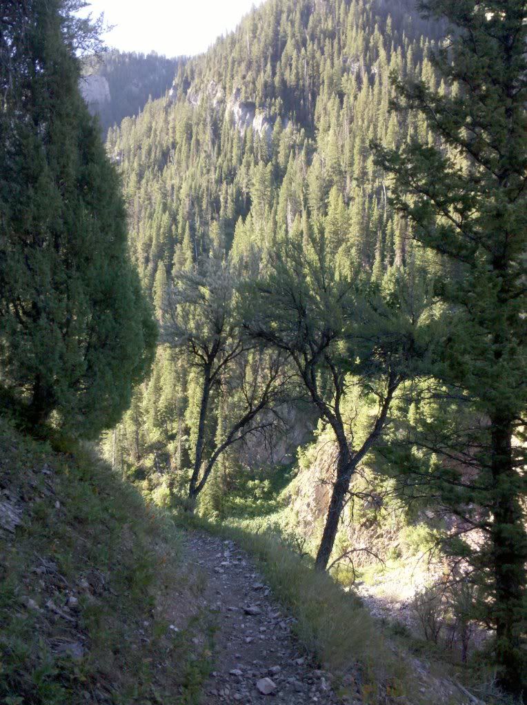
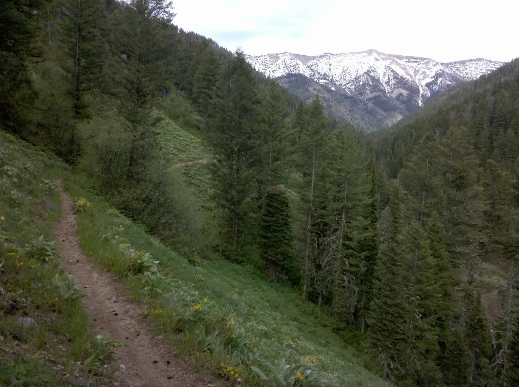
After the first section of Swift Creek trail, the trail turns and continues to climb up from the valley to the crest of the Wyoming Range.
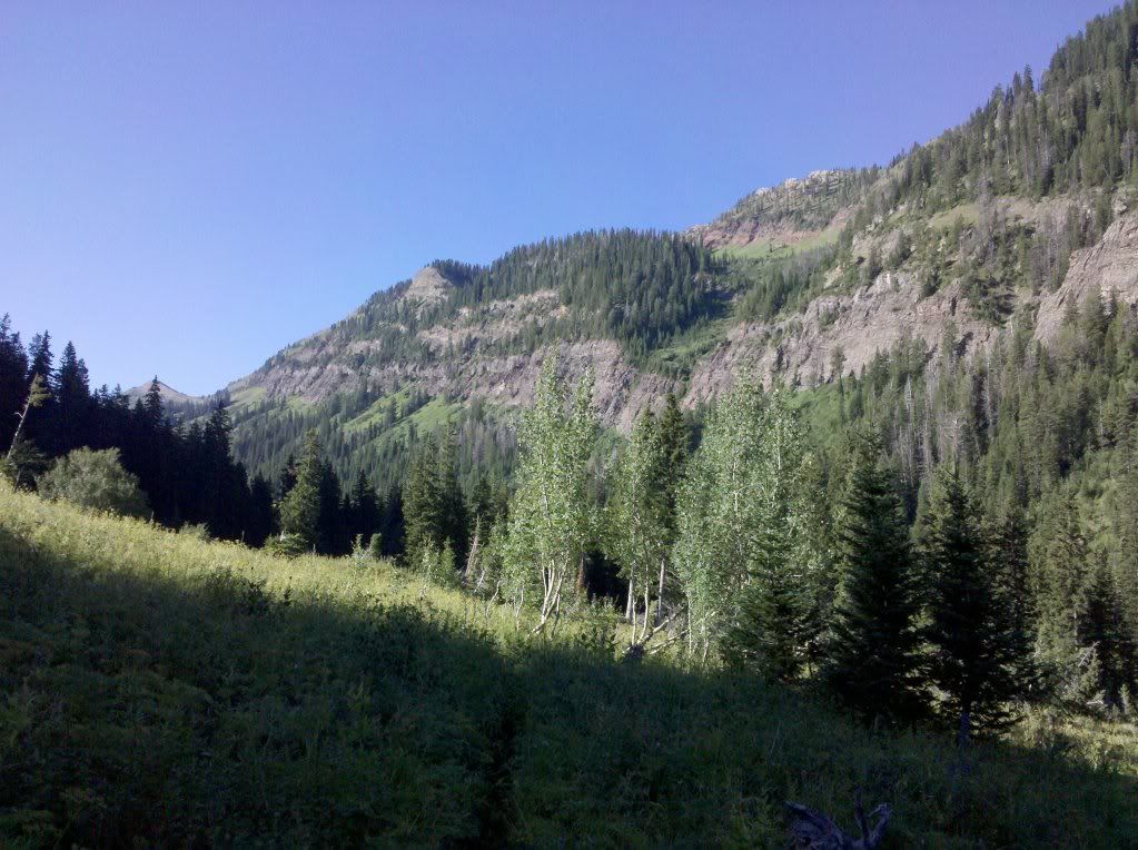
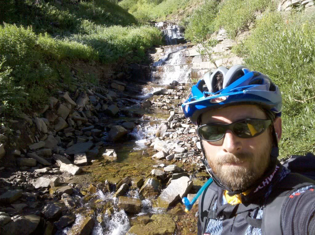
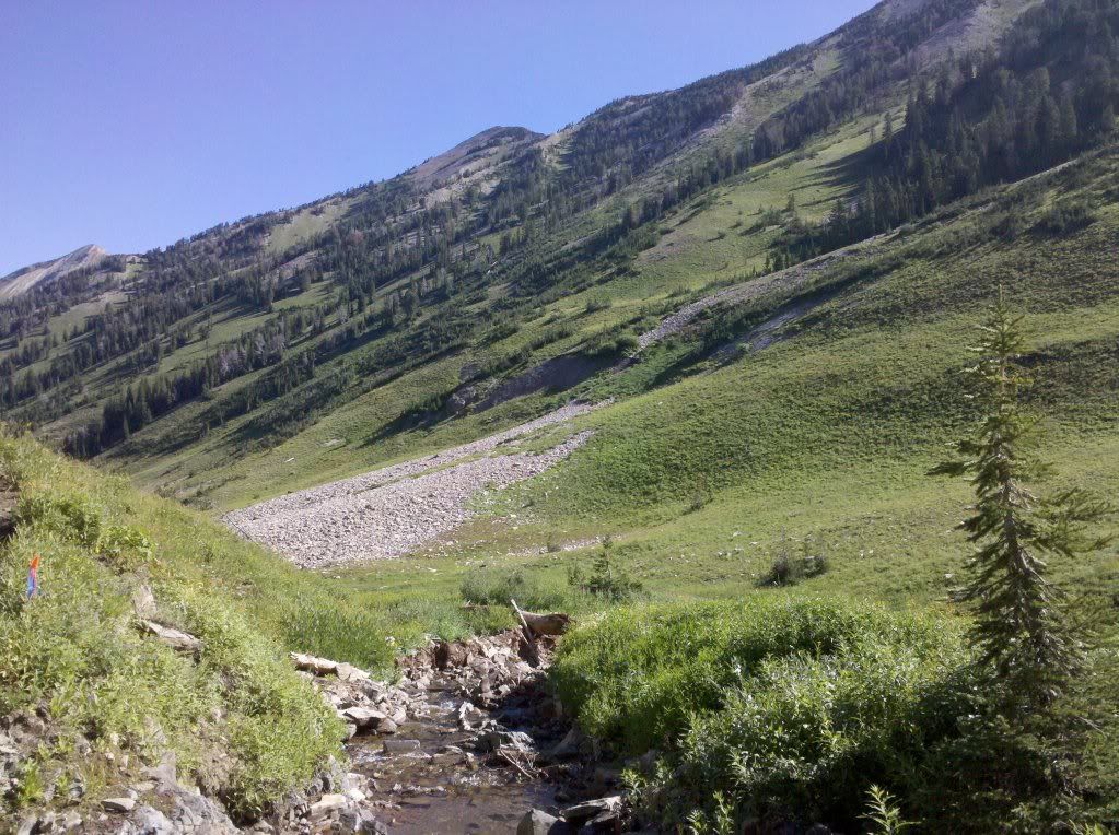
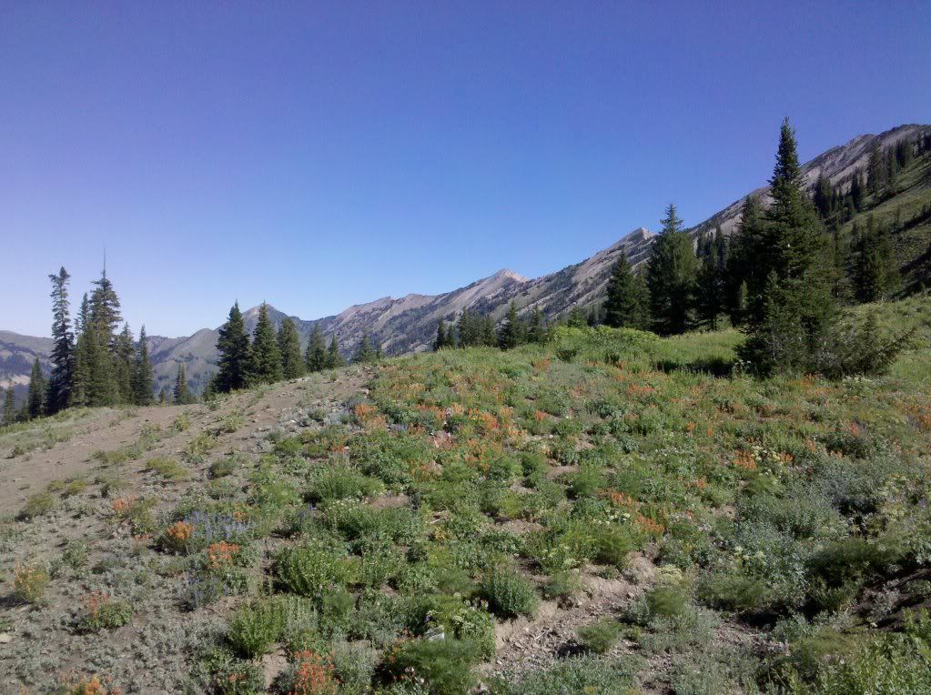
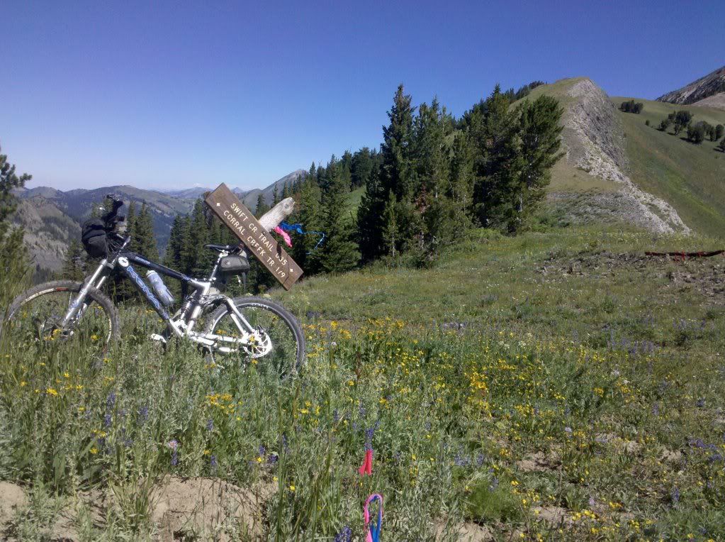
Once on the crest (after quite a bit of hike-a-bike), there appeared to be a new trail that didn't follow what I had planned for based on the USGS Quads. I figured I'd take the new trail since it appeared to go in the direction that I wanted to go without dropping as far into the valley as I had originally planned for. Once I dropped over the backside, I knew I was relatively committed to completing the loop, as it would be a long, long, slog if I couldn't get back over the crest. I'm glad I decided to go that route. It went directly by a couple of lakes in the leeward side of the ridge with beautiful views.
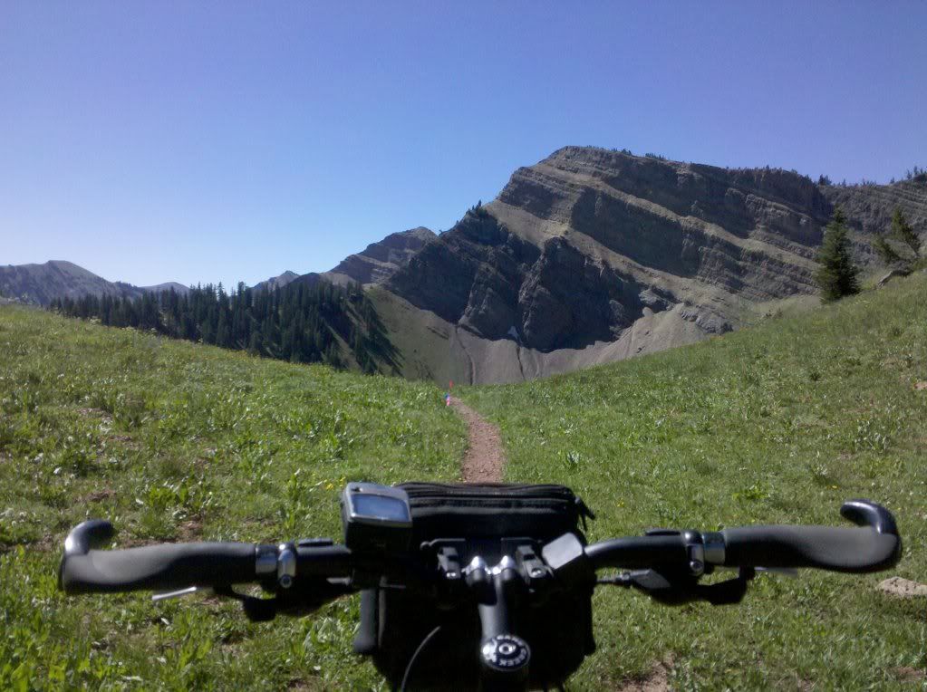
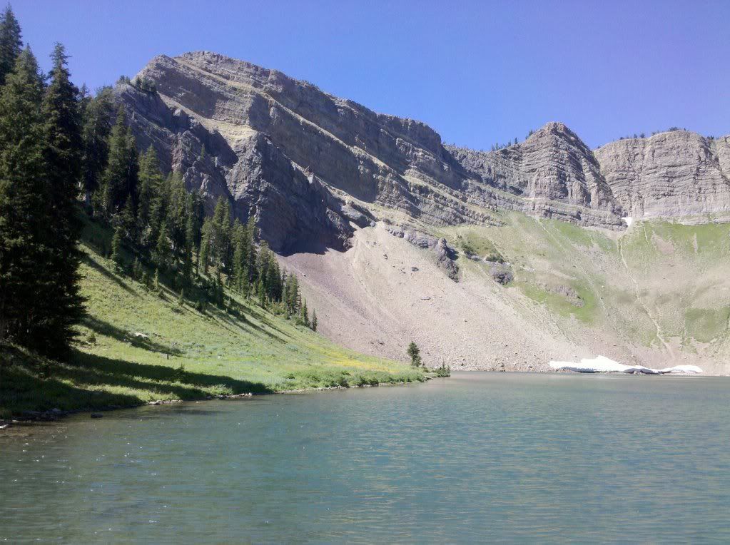
The next section was the start of the climb back to the crest. After the initial hike-a-bike, there was some great sections of singletrack. Then there was the long carry-a-bike to get to the top of the slope the locals call 'Balls'. I guess it gets its name because it takes big ones to drop this leeward slope on a snowmobile. More than one snowmobiler has been killed in avalanches here.
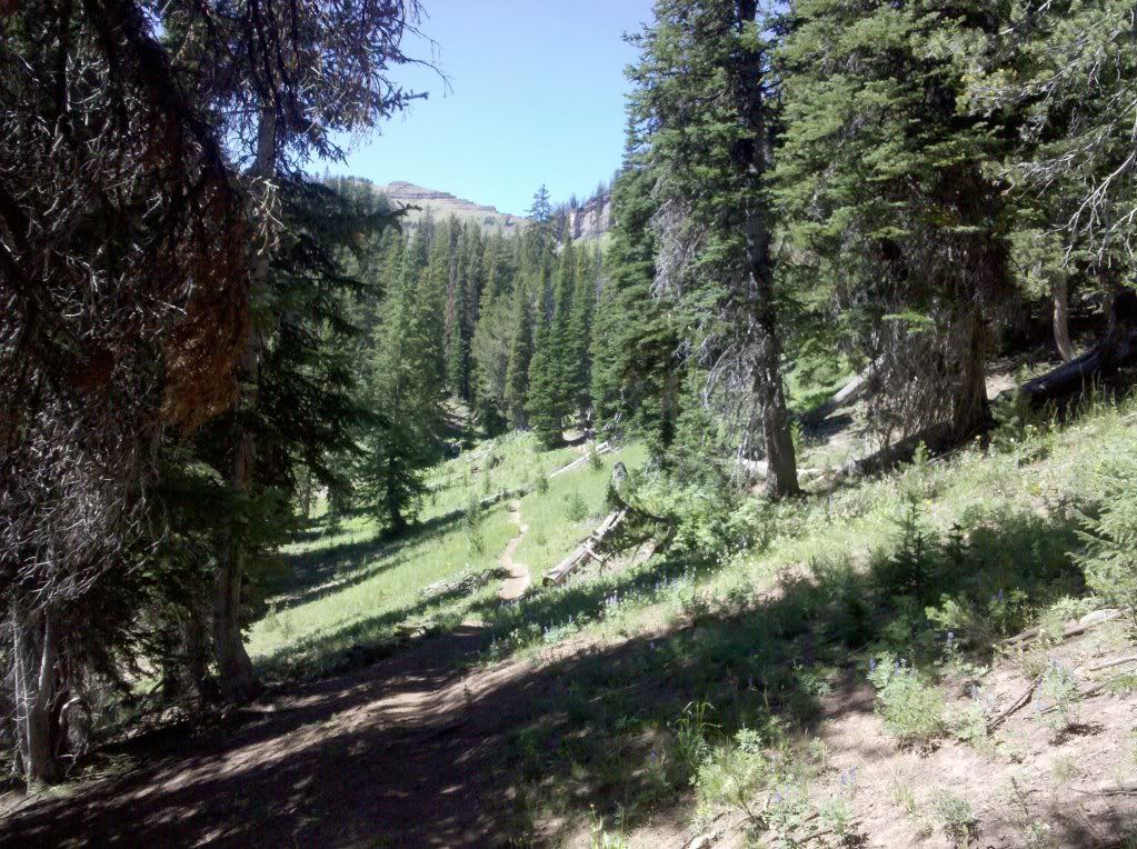
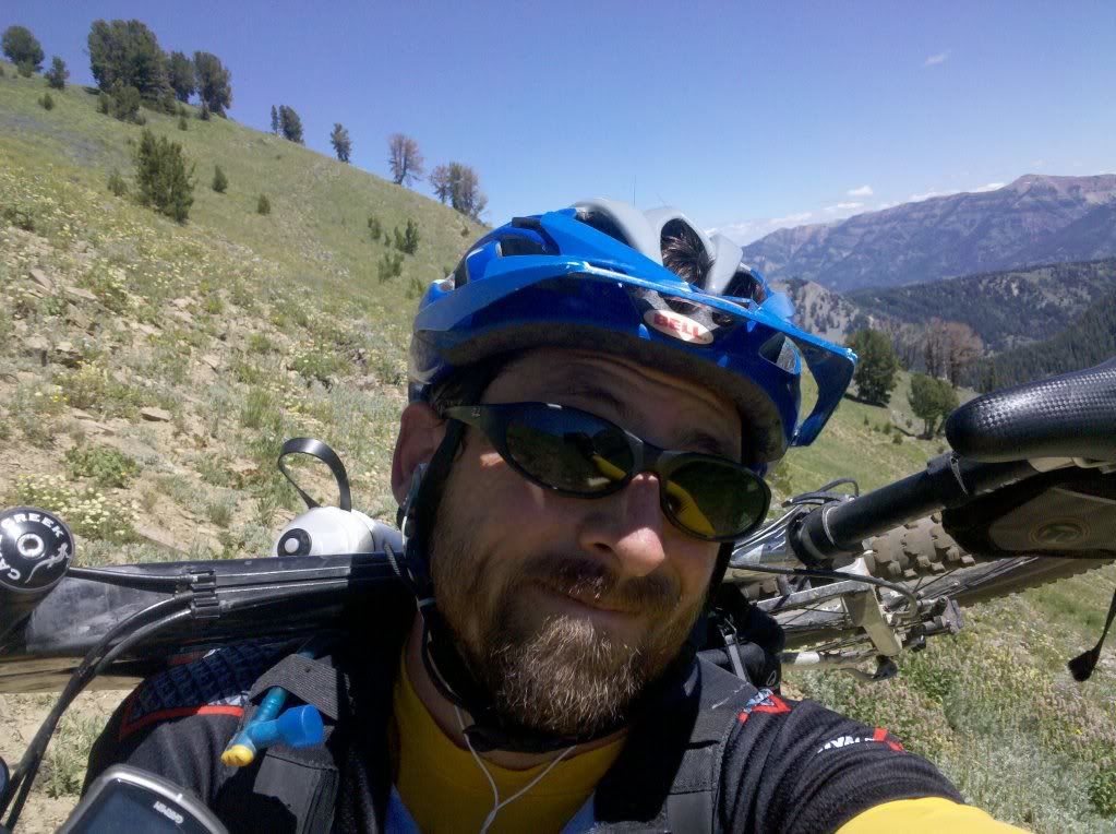
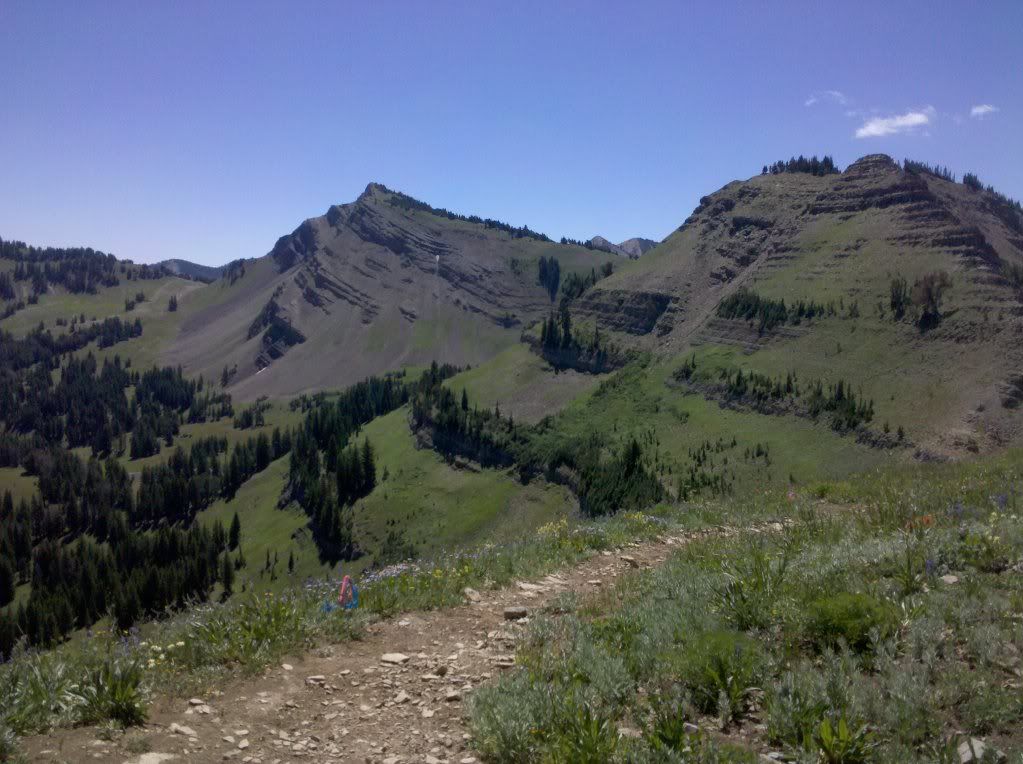
Once over the crest, I could've just dropped down the ATV trail to the gravel road on Cottonwood Canyon and got back out to the pavement, but what fun would that be, I decided to take the road way less traveled and hop over the ridge to extend the adventure. It started out great, nice trail, somewhat rideable...Then the trail disappeared all together leaving me hunting for even a reminant of an animal trail to make riding (instead of pushing/carrying) even an option.
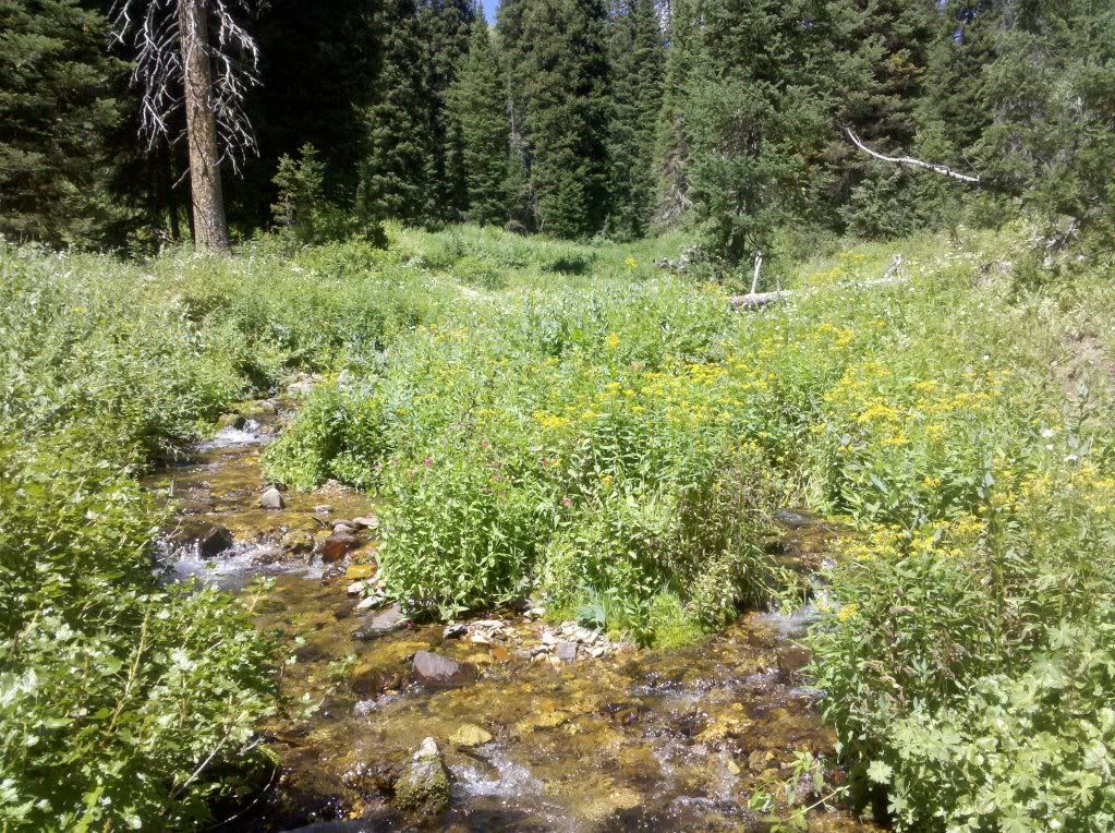
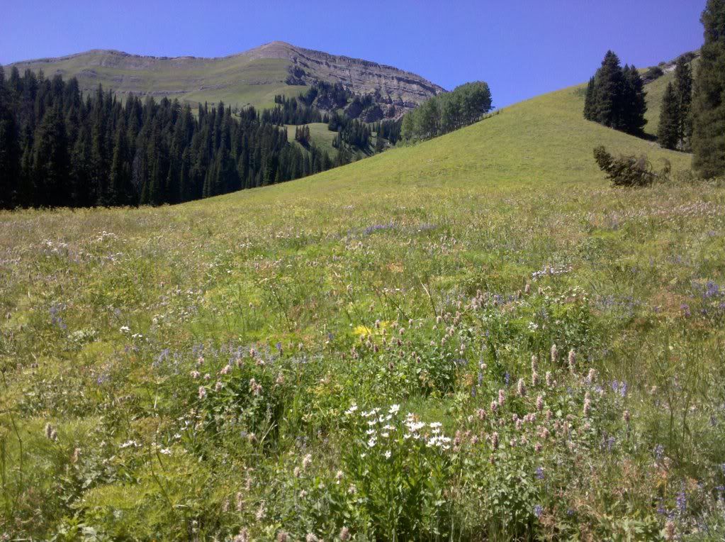
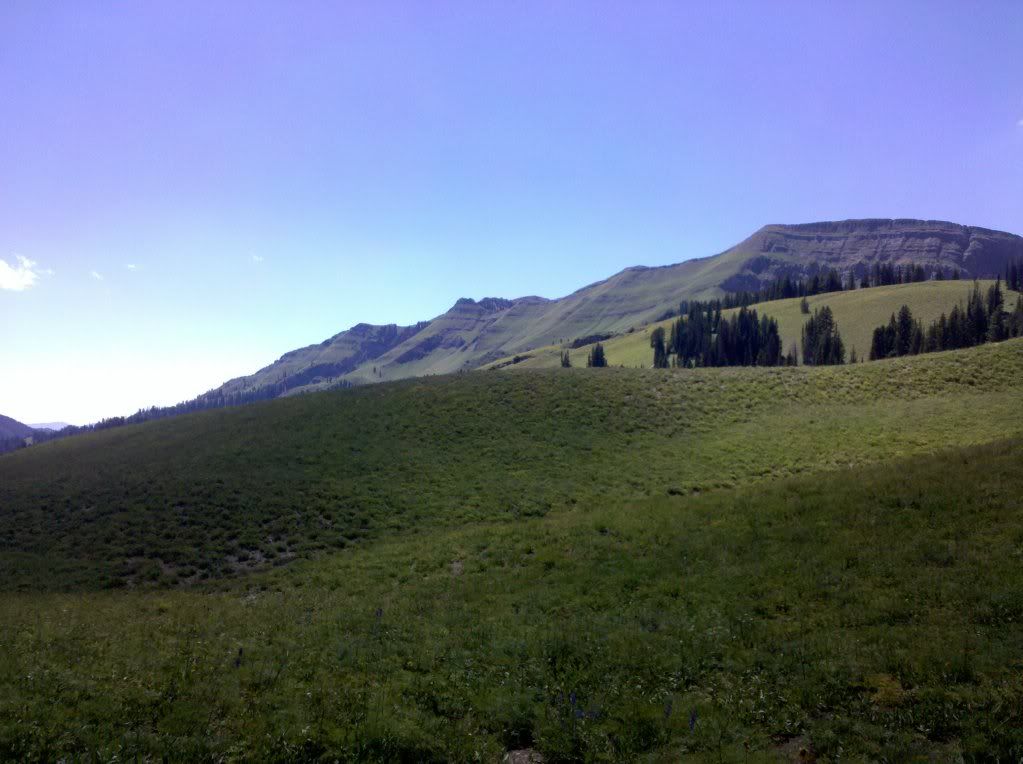
I started cramping on the climb which didn't make it any easier to get over the top. But once I did find the top, I needed to try and find the trail. When I did find the trail, it was steep and loose. I chased a moose, and then it was back down the dirt road to town.
Here's the stats:
35.52 miles
7500 ft of climbing
7:43:36 moving time
8:24:39 total time
2 comments:
very nice!!
Thanks Marshal!
I ready to start riding in the high country, but it's going to be awhile. So I figured I catch up on past adventures.
Post a Comment